Col de Menté and Col de la Clin: Driving the 25 hairpins of the Haute-Garonne
Located in the heart of the Haute-Garonne department in southwestern France, Col de Menté is a classic Pyrenean mountain pass reaching an elevation of 1,347m (4,419ft) above sea level. This pass, combined with the nearby Col de la Clin, forms a challenging and spectacular driving route through the Occitania region, famous for its technical switchbacks and its history in professional cycling.
| Road facts: Col de Menté & Col de la Clin | |
|---|---|
| Location | Haute-Garonne, France (Pyrenees) |
| Col de Menté Elevation | 1,347 m (4,419 ft) |
| Col de la Clin Elevation | 1,250 m (4,101 ft) |
| Road Number | D44 |
| Hairpin Turns | 25 |
Where does the road to Col de Menté start and end?
The road through the pass, designated as the D44, spans 15.6 km (9.69 miles). It runs west to east, starting from the town of Saint-Béat-Lez in the Garonne valley and ending in Ger de Boutx. The route carves through deep deciduous forests and rocky outcrops typical of the Central Pyrenees. Just a short distance to the east of Menté, the road connects with the Col de la Clin at an elevation of 1,250m (4,101ft), creating a continuous high-altitude traverse that avoids the lower valley floors.
Is the road to Col de Menté paved?
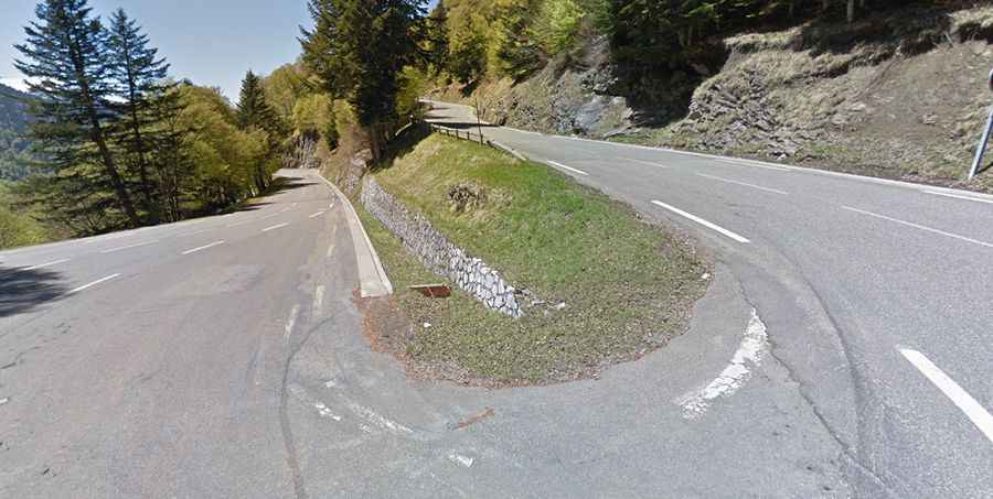
Yes, the road is fully paved, but its condition is that of a traditional high mountain road. The D44 is narrow in several sections and features 25 sharp hairpin turns that climb steeply from the valley. These switchbacks are legendary for their tight radius and constant demand on the driver's focus. While the asphalt is generally in good condition, the road can be "bumpy" due to the winter frost cycles and the occasional rockfall that litters the edges of the pavement. The steep parts require consistent use of lower gears, especially during the technical descent toward Ger de Boutx.
What makes Col de la Clin worth the drive?
Often overshadowed by its neighbor, Col de la Clin serves as a crucial link in the local geography. Crossing this second pass allows drivers to stay on the high ridges, offering a more rugged and "hidden" feel compared to the main pass. The transition between Menté and Clin is relatively short but features some of the most scenic views of the surrounding peaks. It is a favorite for those who want to escape the more crowded alpine routes and experience a road that feels more integrated into the wild Pyrenean landscape.
What are the hazards when driving the Col de Menté?
The main hazard on the D44 is the extreme steepness and the frequency of the hairpins. In winter, the pass is often subject to heavy snowfalls and ice, making the 25 switchbacks a major challenge even with proper winter tires. During the summer, the road is heavily used by cyclists, meaning drivers must exercise extreme caution on the blind corners. Additionally, heavy mist can roll in quickly at 1,300 meters, reducing visibility to a few meters. Always check the weather for the Haute-Garonne before starting the climb, as a simple mountain rain can make the steep asphalt slick and unforgiving.