How to drive the unpaved road to Col du Lac Blanc in Isere?
Col du Lac Blanc is a high mountain peak at an elevation of 2.803m (9,196ft) above sea level, located in the Isère department of France. It’s one of the highest roads in the country.
Where is Col du Lac Blanc?
The peak is located in the Auvergne-Rhône-Alpes region, in the southeastern part of the country, in the Oisans region. At the summit sits the Téléphérique du dôme des rousses.
Is the road to Col du Lac Blanc unpaved?
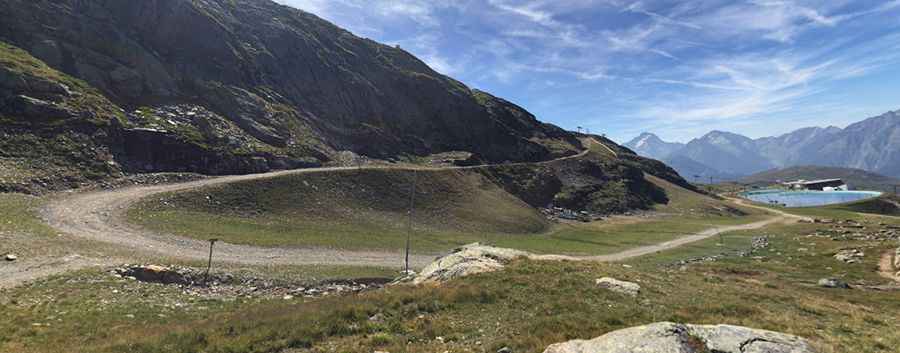
The road to the summit is totally unpaved, very steep, with loose rocks and gravel. It’s a service road for the chairlift. A 4x4 vehicle is required. It’s closed to private vehicles.
How long is the road to Col du Lac Blanc?
Starting from L'Alpe d'Huez, the road to the summit is 8.1 km long. Over this distance, the elevation gain is 957 m and the average gradient is 11.81%.
Is the road to Col du Lac Blanc open year-round?
Set high in the Grandes Rousses mountain range of the French Alps, the road is totally impassable in winters. Even in summer you can confront with snowy days.
Pic: DAVID REB