Road trip guide: Conquering Refuge Drayères
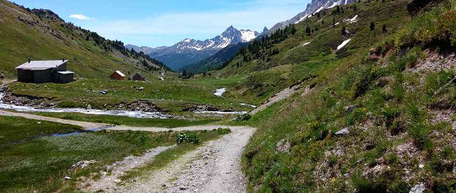
Refuge Drayères is a high mountain refuge at an elevation of 2.189m (7,181ft) above sea level, located in the Hautes-Alpes department of France.
Where is Refuge Drayères?
The hut is located in the Provence-Alpes-Côte d'Azur region, in the southeastern part of the country, within the Vallée de la Clarée. It really has a spectacular setting at the head of the valley looking down over beautiful scenery and up to breath-taking peaks.
Is the road to Refuge Drayères unpaved?
The road to the hut is totally unpaved and very rocky. It’s called Sentier des Drayères. It’s a lonely road, with a rough surface. A 4x4 vehicle is required. The road is closed to private vehicles.
How long is the road to Refuge Drayères?
Starting from Refuge de Laval, the road to the hut is 3km long. Over this distance, the elevation gain is 164m and the average gradient is 5.46%.
Pic: Anne Schlit