How to drive to the summit of Col d’Eylac in Cantal
Col d’Eylac is a high mountain pass at an elevation of 1,442 m (4,730 ft) above sea level, located in the Auvergne-Rhône-Alpes region of France.
Where is Col d’Eylac?
The pass is located in the Cantal department in the south-central part of the country. At the summit, there’s a parking lot and a little bar.
Is Col d’Eylac paved?
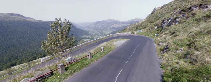
The road through the pass is totally paved yet pretty defiant, with many turns and steep sections, hitting a 15% maximum gradient through some of the ramps. It’s called D680.
How long is Col d’Eylac?
The pass is 32 km (20 miles) long, running west-east from Salers to Dienne, a commune in the Cantal department, south-central France. The pass has been climbed by the Tour de France bicycle race.
Is Col d’Eylac open in winter?
Set high in the Massif Central mountain range, the road is usually open year-round, but winter closures are common.