Driving a military road to Colle di Chavannes in Valle d’Aosta
Colle di Chavannes is a high mountain pass at an elevation of 2.608m (8,556ft) above sea level, located in Valle d’Aosta region of Italy. It’s one of the highest roads of the country.
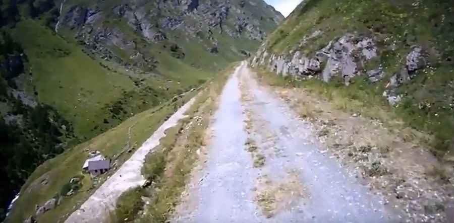
Is the road to Colle di Chavannes unpaved?
Set high in the Alps, in the northwestern part of the country, the road to the summit, also known as Col des Chavannes, is totally unpaved, very narrow and steep. It’s an old military road.
How long is the military road to Colle di Chavannes?
Starting at Strada Statale 26 della Valle d'Aosta (SS26), the ascent is 12.2 km (7.58 miles) long. Over this distance the elevation gain is 1.003 meters. The average gradient is 8.22%.
Is the military road to Colle di Chavannes worth the drive?
Along the way it’s possible to see old military fortifications cut into the mountain. The summit offers stunning views from the Col de la Seigne to the entire Mont Blanc massif.
Pic: vannichierici