How to drive the unpaved road to Gros Crey in Savoie?
Gros Crey is a high mountain peak at an elevation of 2.581m (8,467ft) above sea level, located in the Auvergne-Rhône-Alpes region of France.
Where is Gros Crey?
The peak is located in the Savoie department, in the south-eastern part of the country. At the summit there are 2 communication towers. It provides nice views of the mountains around and the whole skiing area.
Is the road to Gros Crey unpaved?
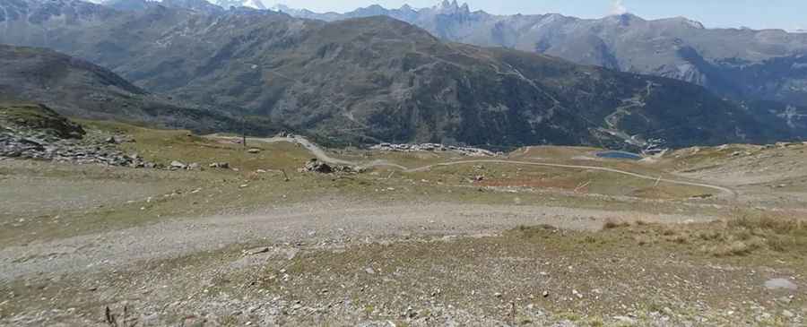
The road to the summit is totally unpaved. It’s a service road for the chairlifts. It’s narrow and extremely steep. 4x4 vehicles only.
How long is the road to Gros Crey?
Starting from Valmeinier 1800 ski resort, the road to the summit is 5.8 km long. Over this distance, the elevation gain is 804m and the average gradient is 13.86%.
Is the road to Gros Crey open year-round?
Set high in the massif des Cerces of the French Alps, the road is totally impassable in winters due to the heavy snowfalls. High winds blow here all year long. It’s closed to private vehicles.
Pic: Tardis BROU