Travel Guide to L'Aiguille Percee
L'Aiguille Percée is a rock formation at an elevation of 2,732m (8,963ft) above sea level, located in the Savoie department of France.
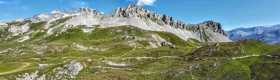
Where Is L'Aiguille Percée?
The summit is located in the Auvergne-Rhône-Alpes region, in the southeastern part of the country, near the Italian border.
Is the Road to L'Aiguille Percée Unpaved?
Tucked away in the Réserve Naturelle de Tignes-Champagny, the road is completely unpaved. It serves as a service road for the chairlifts at the summit. Only 4x4 vehicles can handle the rugged terrain. It’s one of the highest roads in the country.
How Long Is the Road to L'Aiguille Percée?
Set high in the French Alps, the road is accessible only during a few summer months. Starting from Tignes, the road stretches 3.4km (2.11 miles). Over this distance, the elevation gain is 621m, with an average gradient of 18.26%.
Pic: David P