Aiguille Croche: Driving the 18 Hairpins of the Beaufortain Ridge
Aiguille Croche is a mountain peak at an elevation of 2,398 meters (7,867 ft) above sea level, located on the border between the Savoie and Haute-Savoie departments in southeastern France. Situated in the Beaufortain Massif above Les Contamines-Montjoie, the summit area is reached via an unpaved ski-lift service track.
| Road facts: Aiguille Croche | |
|---|---|
| Location | Les Contamines-Montjoie, Savoie / Haute-Savoie (France) |
| Elevation | 2,398 m (7,867 ft) |
| Length | 11.6 km (7.2 miles) from Les Contamines-Montjoie |
| Hairpin Turns | 18 switchbacks |
| Surface | Unpaved (Loose slate and crushed rock) |
| Vehicle Required | High-clearance 4x4 |
Where is the road to Aiguille Croche located?
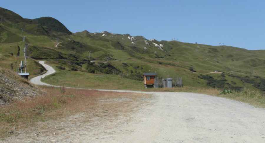
The track begins near Les Contamines-Montjoie and climbs the mountain slopes of the Beaufortain Massif. The 11.6-kilometer route follows high ridges along the departmental border between Savoie and Haute-Savoie, terminating near the top cable car station below the main peak.
What are the driving conditions on the Aiguille Croche track?
The 11.6-kilometer track is entirely unpaved, consisting of loose shale, crushed rock, and deep ruts. The climb includes 18 tight hairpin turns along narrow mountain ridges with no safety barriers along steep drops into the valley. Four-wheel-drive vehicles with high ground clearance and low-range gearing are required to handle the steep, loose ramps.
What hazards exist on the Aiguille Croche mountain road?
The single-lane track lacks guardrails along exposed ridge sectors. Loose slate shifts under vehicle tires, reducing traction on steep switchbacks. Heavy rain saturates the shale surface, creating mud and increasing rockslide risks. On the descent back toward Les Contamines-Montjoie, drivers must use low-range gears to engine brake and prevent brake pad overheating.
Is the road to Aiguille Croche open year-round?
At an elevation of 2,398 meters, the track is buried under snow and integrated into the local ski domain from autumn through late spring. Snowplows do not clear this unpaved service track, leaving it accessible only during dry summer months.
Pic&more info: http://nathrandohautesavoie.over-blog.com/article-l-aiguille-de-la-croche-2500m-les-contamines-montjoie-109347269.html