Driving the paved road to Puerto de Larrau
Puerto de Larrau is an international high mountain pass at an elevation of 1.615m (5,298ft) above the sea level, on the French-Spanish border in the western Pyrenees.
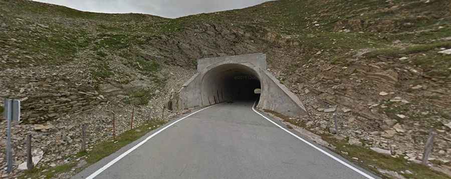
This is one of the toughest climbs in the Pyrenees, with a maximum slope of 15 %. The pass lies between the department of Pyrénées-Atlantiques, France and Navarre, Spain. The road over the pass is asphalted with some narrow sections. It’s called NA-2011 (Spanish side) and D26 (French side). Port de Larrau is open from May to November. The pass has been featured in the Tour de France race.
There are 3 routes to reach the summit. Starting from Auberge de Laugibar, the ascent is 15.3 km long. Over this distance, the elevation gain is 1.205 meters. The average percentage is 7.9 %. Starting from Larrau, the ascent is 14.14 km long. Over this distance, the elevation gain is 1.162 meters. The average percentage is 8.2 %. The maximum slope is 15 %. And starting from Ochagavia, the ascent is 19.3 km long. Over this distance, the elevation gain is 815 meters. The average percentage is 4.2 %.