How to drive the unpaved road to Bellevarde in Savoie?
Bellevarde is a high mountain peak at an elevation of 2.783m (9,130ft) above sea level, located in the Auvergne-Rhône-Alpes region of France. It’s one of the highest roads of the country.
Where is Bellevarde?
The peak is located in the Savoie department, in the southeastern part of the country, near the Italian border. At the summit there's a communication tower and a few bars. The summit offers great views of the Parc National de la Vanoise and the surrounding area.
Is the road to Bellevarde unpaved?
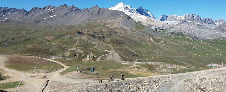
Tucked away in the Vanoise National Park, the road to the summit is totally unpaved, with many curves, about 15 hairpin turns, narrow parts and extremely steep sections. 4x4 vehicles only.
How long is the road to Bellevarde?
Starting from Val-d'Isère, the road to the summit is 5.1 km long. Over this distance, the elevation gain is 845 m and the average gradient is 16.56%.
Is the road to Bellevarde open year-round?
Set high in the French Alps, the road is totally blocked by snow from October to June. It’s closed to private vehicles.
Pic: arianna marchet