Road trip guide: Conquering Mur de Peguere in the Occitanie
Mur de Péguère is a mountain pass at an elevation of 1,375m (4,511ft) above sea level, located in the Occitanie region of France. It’s a killer climb: on paper, it only averages 7.9%, but that’s thanks to some relatively gentle lower slopes.
Where is Mur de Peguere?
The pass, also known as Col de Péguère, is located in the department of Ariège, in the southwestern part of the country.
How long is Mur de Peguere?
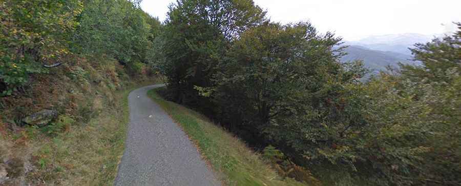
The road through the pass is called D17. It’s fully paved but narrow in parts. It’s 27km (17 miles) long, running north–south from Serres-sur-Arget to Massat. The col can also be reached on the descent from Col de Portel.
How steep is Mur de Peguere?
Set high in the French Pyrenees, in the Massif de l'Arize, the pass has been climbed by the Tour de France. Starting from Massat, the ascent is 9.8 km (6.1 mi) long. Over this distance, the elevation gain is 726 m (2,382 ft). The average percentage is 7.4%, with the section after the Col des Caougnous having stretches in excess of 18%.
Starting from Serres-sur-Arget, the ascent is 18 km (11 mi) long. Over this distance, the elevation gain is 872 m (2,861 ft). The average percentage is 4.8%.