Col de la Biche
Col de la Biche, also known as Golet de la Biche, is a mountain pass at an elevation of 1.310m (4,297ft) above the sea level, located in the Ain department in eastern France. The climbs is exceedingly steep with some sections up to 13.6%.
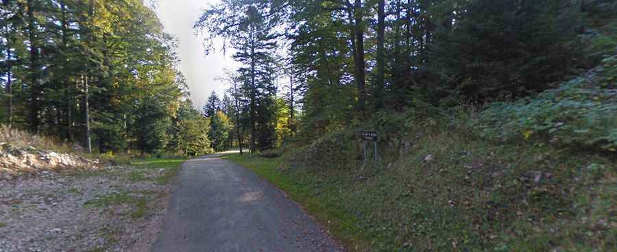
The road to the summit is called D123. It’s asphalted but pretty narrow. Located within the Massif du Jura mountain range, the mountain pass has been climbed by the Tour de France.
There are 3 routes to reach the summit. Starting from Talissieu, the ascent is 19.17 km long. Over this distance, the elevation gain is 1.070 meters. The average percentage is 5.5 %. Starting from Artemare, the ascent is 20.5 km long. Over this distance, the elevation gain is 1.065 meters. The average percentage is 5.2 %. And starting from Gigniez, the ascent is 13.8 km long. Over this distance, the elevation gain is 958 meters. The average percentage is 6.9 %.