A brutally steep classic climb to Planche des Belles Filles
La Planche des Belles Filles is a ski resort at an elevation of 1.148m (3,766ft) above sea level, located in the Bourgogne-Franche-Comté region, in France.
Where is La Planche des Belles Filles?
The resort is located in the Haute-Saône department, in the eastern part of the country.
Why is it called La Planche des Belles Filles?
The name Belles Filles literally means "Beautiful Daughters", but is actually derived from a local plant life.
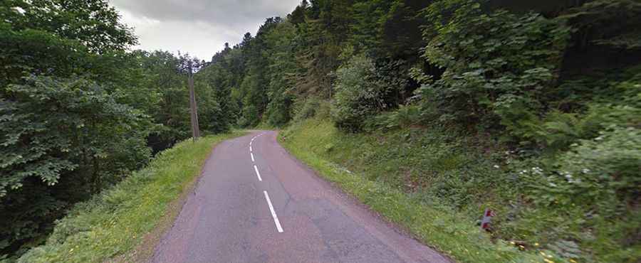
Is the road to La Planche des Belles Filles paved?
The road to the summit is fully paved. It’s called D16-D16E. It’s one of the most well-known and feared climbs of the Vosges complete with its infamous ski slope ending. The road is wide, two cars can pass with ease. Most French roads are carefully engineered with regular slopes but this is the exception, a constantly changing in gradient yet invariably steep.
How long is the road to La Planche des Belles Filles?
Set high in the Vosges Mountains range, it was first climbed in the 2012 Tour de France with Chris Froome powering to his first stage win in La Grande Boucle. The climb shows no mercy from bottom to top, yet the steepest sector is in the finale when the riders face a grueling 28%. Starting from Plancher-les-Mines, the ascent is 5.9 km (3.7 mi) long. Over this distance, the elevation gain is 503 m (1,650 ft) and the average gradient is 8.5% with a maximum of 14%, but with a short stretch from 22% to 28% near the finish.