Road to Refuge de Moëde Anterne: Driving the 8.85% Track in the Fiz Mountains
Refuge de Moëde Anterne is a mountain hut at an elevation of 1,984 meters (6,509 ft) above sea level, located in the Fiz Massif in the Haute-Savoie department of southeastern France. Situated within the Passy Nature Reserve above Plaine-Joux, the unpaved track serves as a supply and service route for the refuge.
| Road facts: Refuge de Moëde Anterne | |
|---|---|
| Location | Passy, Haute-Savoie (France) |
| Elevation | 1,984 m (6,509 ft) |
| Length | 7.6 km (4.72 miles) from Plaine-Joux |
| Elevation Gain | 673 m (2,208 ft) |
| Average Gradient | 8.85% |
| Surface | Unpaved (Gravel, limestone scree, and rocks) |
| Access Restrictions | Restricted (Authorized supply and service vehicles only) |
Where is the road to Refuge de Moëde Anterne located?
The track begins at Parking de Plaine-Joux in the municipality of Passy. The 7.6-kilometer route climbs through the Passy Nature Reserve along the slopes of the Fiz Massif toward the Col d'Anterne plateau.
How steep is the drive to Refuge de Moëde Anterne?
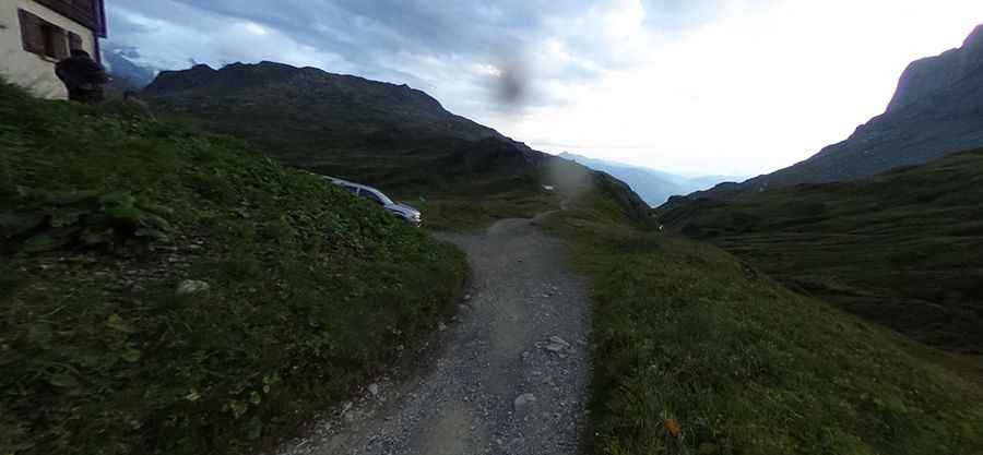
Starting from Plaine-Joux, the track gains 673 vertical meters over 7.6 kilometers, averaging an 8.85% gradient with individual ramps exceeding 12%. The surface is entirely unpaved, consisting of loose limestone scree, rock steps, and dirt. High ground clearance and four-wheel drive with low-range gearing are necessary to maintain traction without spinning wheels on the loose incline.
What hazards exist on the Moëde Anterne track?
The single-lane dirt route lacks guardrails along exposed mountain drop-offs. Water runoff from summer storms creates deep ruts across the driving line. Heavy hiker traffic along the shared trail requires low speeds. On the 673-meter descent back toward Plaine-Joux, low-range gears are necessary to engine brake and avoid overheating brake pads.
Is motorized traffic allowed on the road to Refuge de Moëde Anterne?
No. Public motorized traffic is prohibited inside the Passy Nature Reserve. Driving on the track is restricted to authorized refuge supply vehicles, mountain rescue units, and local forestry personnel. Snow covers the route at 1,984 meters from October through June, leaving it impassable during winter.
Pic: Pascal Corpet