Driving the scenic road to Col du Cenise
Col du Cenise is a mountain pass at 1,723m (5,652ft) high. It is located in the Haute-Savoie department, in the southeast of France. This route is a good option if you want to drive between the Arve and Borne valleys in the Auvergne-Rhône-Alpes region.
| Road facts: Col du Cenise | |
|---|---|
| Location | Haute-Savoie, France |
| Length | 14.3 km (8.8 miles) |
| Elevation | 1,723 m |
| Surface | Mixed (Paved / Rocky track) |
| Vehicle required | 4x4 recommended for the summit |
| Hazard Level | Moderate (Rocky middle section) |
Is the road to Col du Cenise paved?
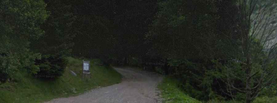
The road has different types of surfaces. On the western side, the road is unpaved, but it is in good enough condition for most cars to reach the Chalet de Cenise. However, from that point on, the track becomes rocky and much rougher. You will need a 4x4 to drive through the pass until you reach Parking des Frachets, where the asphalt starts again.
How long is the road to Col du Cenise?
The drive through the pass is 14.3 km (8.8 miles) long, running from Mont-Saxonnex to Glières-Val-de-Borne. It is a typical mountain road with some sharp hairpin turns and steep sections that require careful driving.
What are the driving conditions like on Col du Cenise?
Because of the altitude and the rocky section near the top, it is best to drive this road in the summer. Snow usually blocks the pass during the winter months. The main challenge is the change in the road surface: it starts as a simple track, turns into a rocky path for a few kilometers, and ends as a paved road again. It is important to check your car's clearance before trying the middle section.