Don’t glance down at your phone on Ravin de la Platte
Ravin de la Platte is a high mountain ravine at an elevation of 1.853m (6,079ft) above the sea level, located in the Hautes-Alpes department in the Provence-Alpes-Côte d'Azur region of France. It’s definitely not for anyone suffering from vertigo.
How long is the road to Ravin de la Platte?
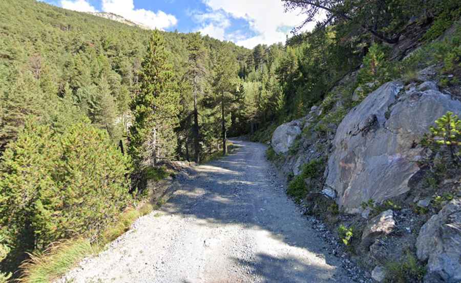
Tucked away on the southeastern part of the country, the road is totally unpaved. Only the suicidal, the insane, or the paid-to-do-this should ever drive down. Located in the Lauzet valley, the road to the ravine has humbled many egos. Starting at La Roche-de-Rame, a small town at 950m above the sea level, the road is 11km (6.83 miles) long. This terrible and exposed trail is heavily trafficked by log trucks.
Is Ravin de la Platte challenging?
The drive features 25 hairpin turns and tests the skill, and courage, of any driver. The drive is pretty steep, with an average gradient of 8.20% and sections up to 10%. The road is slippery and very narrow (just 3 meters wide), with dangerous drop offs.