How to drive the unpaved road to Col de Riondet in Savoie?
Col de Riondet is a high mountain peak at an elevation of 2.409m (7,903ft) above sea level, located in the Savoie department of France.
Where is Col de Riondet?
The peak is located in the Auvergne-Rhône-Alpes region, within the Vanoise National Park, in the southeastern part of the country.
Is the road to Col de Riondet unpaved?
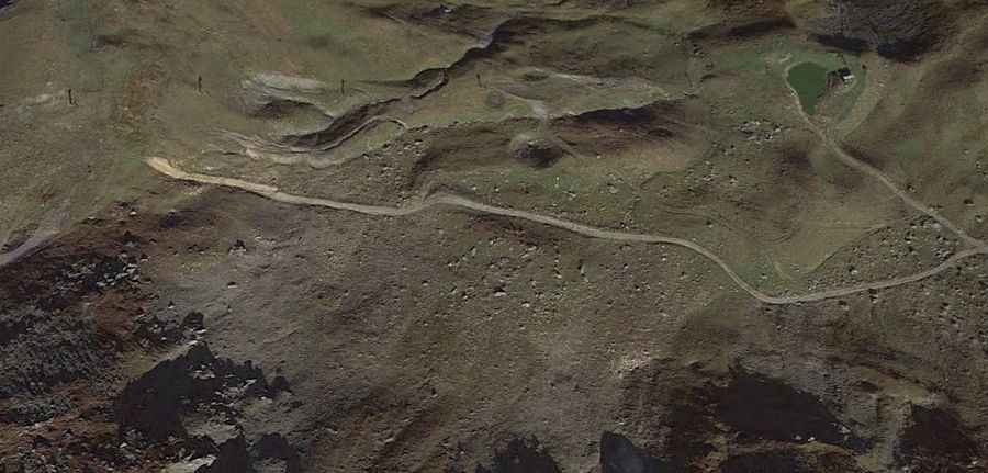
The road to the summit is totally unpaved. It’s a service road for the chairlifts. A 4x4 vehicle is required. It’s narrow in parts and comprises very steep sections.
How long is the road to Col de Riondet?
The road is 9.6 km long starting from Les Avanchers-Valmorel, via Col du Gollet. The drive provides spectacular views of the final hairpins of Col de la Madeleine below in the distance.
Is the road to Col de Riondet open year-round?
Set high in the Massif de la Vanoise range of the French Alps, the road is totally impassable in winters.