How to drive the unpaved road to Cheval Noir in Savoie?
Cheval Noir is a high mountain pass at an elevation of 2.166m (7,106ft) above sea level, located in Savoie department, in France.
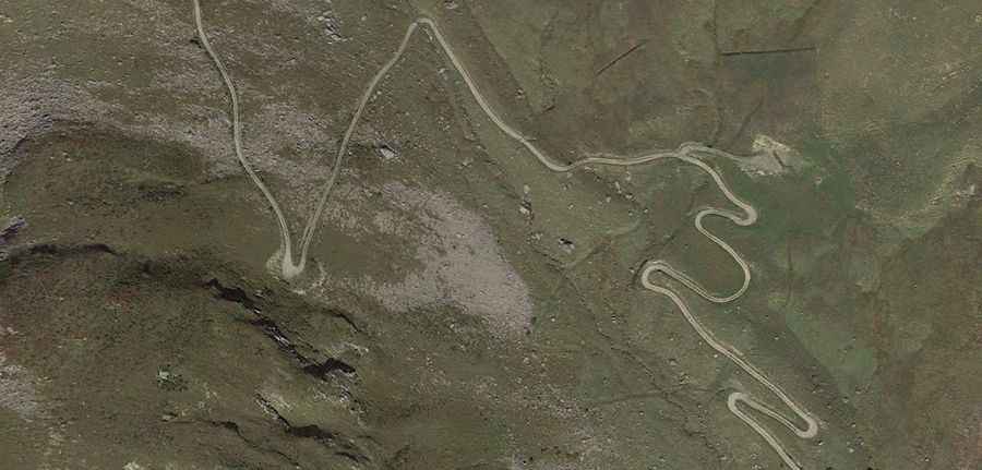
Where is Cheval Noir?
The pass is located in the Auvergne-Rhône-Alpes region, in the southeastern part of the country within the Vanoise National Park. The mountain is the namesake for the geologic Cheval Noir unit, an accretionary wedge that formed during the subduction of the Valais ocean (or North Penninic ocean).
Is the road to Cheval Noir unpaved?
The road to the summit comprises paved (3km) and unpaved (14km) sections, with very steep parts and 25 hairpin turns. It’s closed to private vehicles.
How long is the road to Cheval Noir?
Starting from Saint Jean de Belleville, the road to the summit is 17km long.
Is the road to Cheval Noir open year-round?
Set high in the Massif de la Vanoise range of the French Alps, the road is open year-round. Short-time closures are common in winters.