How steep is the unpaved road to Le Plan des Mains in the Savoie?
Le Plan des Mains is a high mountain refuge sitting at an elevation of 2,129m (6,984ft) above sea level in the Savoie department of the French Alps. Located within the heart of the Vanoise National Park, the road to the summit is a rugged mountain track that serves the Méribel ski resort. This is not a path for standard vehicles; it is a steep, unpaved service road where the thin alpine air and the loose surface turn a short climb into a serious test of 4x4 traction and low-range gearing.
| Road facts: Le Plan des Mains | |
|---|---|
| Location | Savoie, Auvergne-Rhône-Alpes (France) |
| Elevation | 2,129 m (6,984 ft) |
| Length | 4.3 km (2.67 miles) from Méribel-Mottaret |
| Average Gradient | 10.97% |
| Surface | Unpaved / Rough Gravel |
How long is the climb to Le Plan des Mains from Méribel?
The drive begins in the resort of Méribel-Mottaret and spans 4.3 km (2.67 miles) of continuous climbing. Over this short distance, the road gains 472 vertical meters, resulting in a brutal average gradient of 10.97%. The track follows the path of the chairlift lines, winding directly up the ski slopes of the Tarentaise Valley. This is a relentless ascent where the gravel is often loose and dry, requiring a steady foot on the throttle to keep the tires from digging into the soft ground. The 4.3 km trip might seem short, but the steepness of the ramps means you will spend most of the time in first or second gear.
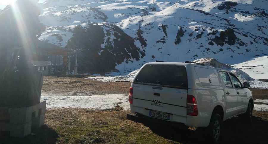
What are the road conditions on the Vanoise service track?
The surface to Le Plan des Mains is entirely unpaved and is designed for heavy-duty resort machinery and maintenance 4x4s. As you climb higher toward the 2,129m refuge, the road becomes more irregular, with deep ruts and exposed rocks that can easily snag the undercarriage of a car. There are no safety barriers, and the track is often narrow, with steep embankments on one side. The main hazard is the combination of the 11% grade and the sharp, uncompacted stones that make braking and restarting on the inclines a challenge for any driver without off-road experience.
Why is a 4x4 vehicle required for Le Plan des Mains?
Attempting this climb in a 2WD vehicle is a recipe for a burnt clutch. The 10.97% average gradient, combined with the loose surface, means that front-wheel-drive cars will lose traction almost immediately. High ground clearance is also essential to navigate the water drainage channels that cross the track, which are deep and can damage lower bumpers. At over 2,100 meters, the engine loses a noticeable amount of torque, making the steep ramps even harder to overcome. Using a low-range gearbox is recommended to maintain a slow, controlled crawl while ascending through the rugged Vanoise terrain.
When is the road to Le Plan des Mains open?
Because the road is located directly on the ski runs of Méribel, it is completely impassable from October to May, buried under several meters of snow. Even in early summer, the track can be muddy and slick from the snowmelt, making the 11% ramps dangerously slippery. The best window for a drive to the summit is from July to September. However, sudden mountain storms in the Savoie can turn the dry gravel into a lethal slurry in minutes. Always monitor the cloud cover over the Vanoise peaks before starting the 4.3 km climb, as the descent back to Mottaret becomes twice as dangerous on wet, unpaved ground.
Pic: Jerome Chapuis