How to drive the unpaved road to Refuge du Saut in Savoie
Refuge du Saut is a high mountain refuge at an elevation of 2.137m (7,011ft) above sea level, located in the Savoie department in France.
Where is Refuge du Saut?
The refuge is located in the Auvergne-Rhône-Alpes region, in the southeastern part of the country, within the Réserve Naturelle du Plan de la Tuéda.
Is the road to Refuge du Saut unpaved?
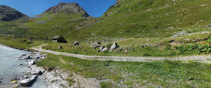
The road to the summit is totally unpaved. It’s a narrow, single-lane dirt and gravel track running along a mountain stream through an alpine valley. A 4x4 vehicle is required, though it’s closed to private vehicles.
How long is the road to Refuge du Saut?
Starting from Méribel-Mottaret, the road to the summit is 6.4 km long. Over this distance, the elevation gain is 441 m and the average gradient is 6.89%.
Is the road to Refuge du Saut open year-round?
Set high in the French Alps, the road is totally impassable in winters.
Pic: anthony dalla zuanna