How to drive the unpaved road to Col des Saulces?
Col des Saulces is an unpaved mountain pass at an elevation of 2,456 meters (8,057 ft) above sea level, located in the Savoie department in the Auvergne-Rhône-Alpes region of southeastern France. Running through the Vanoise National Park near the Courchevel ski resort, the dirt track serves as a high-altitude service route between alpine pastures.
| Road facts: Col des Saulces | |
|---|---|
| Location | Courchevel, Savoie (France) |
| Elevation | 2,456 m (8,057 ft) |
| Length | 11.5 km (7.1 miles) from Courchevel |
| Hairpin Turns | 12 switchbacks |
| Surface | Unpaved (Crushed rock and dirt) |
| Vehicle Required | High-clearance 4x4 |
Where is the road to Col des Saulces located?
The track begins near the Courchevel ski area in the Tarentaise Valley. The 11.5-kilometer unpaved route climbs through the boundary of the Vanoise National Park toward the 2,456-meter pass and its small summit tarn.
What are the driving conditions on the Col des Saulces track?
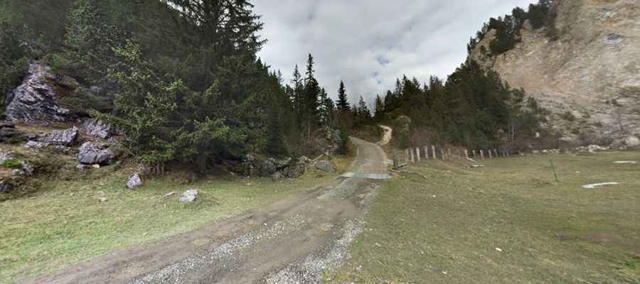
The entire 11.5-kilometer track is unpaved, consisting of native soil, crushed rock, and loose stones. The climb features 12 tight switchbacks along single-lane mountain slopes. Spring snowmelt and summer rainstorms turn dirt sectors into mud, creating deep ruts that require four-wheel drive with high ground clearance.
What hazards exist on the Col des Saulces mountain road?
The narrow dirt track lacks guardrails along exposed alpine drops. Agriculture machinery and local forestry vehicles share the single-lane passage, forcing drivers to stop or reverse to passing pockets. On the descent back toward Courchevel, drivers must select low-range gears to engine brake and prevent brake pad overheating on the dirt switchbacks.
Is the road to Col des Saulces open year-round?
No. Due to its elevation of 2,456 meters inside the Vanoise National Park, snow covers the track from October through June. Snowplows do not clear this unpaved service route, leaving it inaccessible to motor vehicles outside the summer months of July through September.
Pic: Thomas Bacquier