How to drive the unpaved road to Mont Mirantin in Savoie?
Mont Mirantin is a high mountain peak at an elevation of 2.058m (6,751ft) above sea level, located in the Savoie department of France.
Where is Mont Mirantin?
The summit is located in the Auvergne-Rhône-Alpes region, in the south-eastern part of the country.
Is Mont Mirantin unpaved?
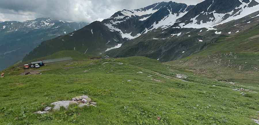
The road to the summit is totally unpaved and very challenging. It’s more a mule path than a road. 4x4 vehicles with high clearance only. The road is very narrow, with some drops, steep parts and 6 hairpin turns.
How long is the road to Mont Mirantin?
Starting from Route Forestière de Plan Villard, the road to the summit is 3.6 km long. Over this distance, the elevation gain is 485 m and the average gradient is 13.47%.
Is the road to Mont Mirantin open in winter?
Set high in the Beaufortain Massif range, the road is usually blocked by snow in winters.
Pic: Yazoo Tavu