How to drive the unpaved road to Collada del Vent?
Collada del Vent is a high mountain pass at an elevation of 2.301m (7,549ft) above sea level, located in the Pyrénées-Orientales department in France.
Where is Collada del Vent?
The pass is located in the Occitania region, in the southern part of the country, near the border with Spain and the Autonomous Community of Catalonia, within the Réserve Naturelle de Py. At the summit there’s a mountain shelter called Refuge du Pla Guillem.
Is the road to Collada del Vent unpaved?
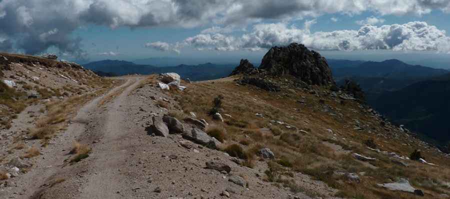
The rough road to the summit is totally unpaved. It features narrow parts and steep sections, hitting an 8% of maximum gradient through some of the ramps. A 4x4 vehicle is required.
How long is the road to Collada del Vent?
The road through the pass is 15.0 km long, running north-south from Col de Jou to Collade des Roques Blanches.
Is the road to Collada del Vent open year-round?
Set high in the Pyrenees, a range of mountains in southwest Europe that forms a natural border between France and Spain, the road receives snowfalls in winters.
How to drive the unpaved road to Collade de la Roquette?
North of the pass, the road climbs up to Collade de la Roquette, a high mountain pass at an elevation of 2.076m (6,811ft) above sea level.
Pic: Benoit Etievant