Road trip guide: Conquering Pic de Chateau Renard
Pic de Château Renard is a high mountain peak at an elevation of 2.936m (9,632ft) above sea level, located in the Hautes-Alpes department of France. It's one of the highest roads of Europe.
Where is Pic de Château Renard?
The peak is located in the Provence-Alpes-Côte d'Azur region, in the southeastern part of the country, within the Queyras Regional Natural Park.
Why is Pic de Château Renard famous?
The summit hosts an astronomical observatory called Observatoire de Saint-Véran - Paul Felenbok. Built in 1974, at this elevation it is one of the highest observatories in Europe.
How long is the road to Pic de Château Renard?
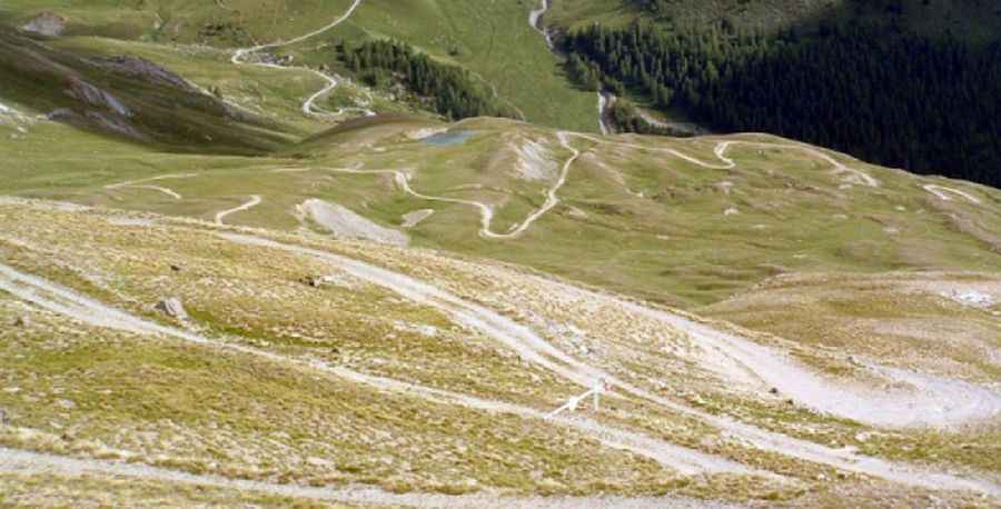
The road to the summit is unpaved, very steep and really narrow. 4x4 vehicle required. Starting from Saint-Véran, the ascent is 11.1km (6.89 miles) long. Over this distance, the elevation gain is 927 meters with an average percentage of 8.35%, hitting a 16.0% through some of the ramps.
Is the road to Pic de Château Renard open?
Set high in the heart of the French Alps, it’s one of the highest roads in the country. The road is usually impassable from October through June. It’s closed to private vehicles. Only astronomers on mission or the Observatory's service vehicle are authorized to travel on the service track.
Pic: https://www.saintveran-astronomie.com/acces.html