Driving the Sensational Road to Col de Guery
Col de Guéry is a mountain pass at an elevation of 1,268 m (4,160 ft) above sea level, located in the Puy-de-Dôme department of France.
Where is Col de Guéry?
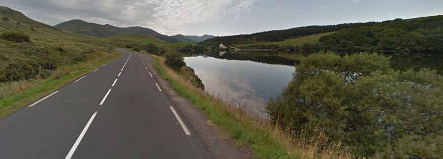
The pass is located in the Auvergne-Rhône-Alpes region, in the central part of the country. The summit features a large parking lot. Above the pass lies Lac de Guéry, the highest lake in the Auvergne, at 1,268 m above sea level.
Is Col de Guéry Paved?
The road through the pass is fully paved. It’s called Route Départementale 983 (D983). It’s a scenic drive with superb views. The road is steep, with sections reaching an 8.8% gradient in some parts. The pass has been featured in the Tour de France race.
How Long is Col de Guéry?
The pass is 21.6 km (13.42 miles) long, running from Randanne (on N-89) to Mont-Dore, a small village.