How to drive the wild road to Col d'Arnosteguy between Spain and France
Col d'Arnostéguy is an international mountain pass at an elevation of 1,240m (4,068ft) above sea level, located on the Spanish-French border.
Where is Col d'Arnosteguy?
The pass is situated west of Col d'Orgambide and connects the Pyrénées-Atlantiques department in the Nouvelle-Aquitaine region of southwestern France with the province and autonomous community of Navarre in northern Spain. The summit has a large parking lot.
How long is Col d'Arnosteguy?
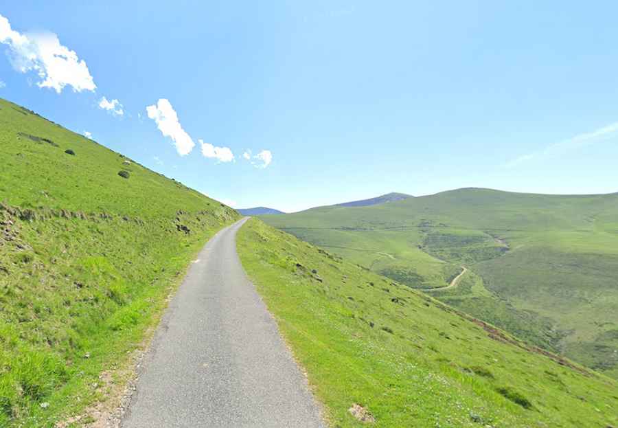
Set high in the Pyrenees, the paved road on the French side is very narrow and steep, with gradients reaching 17.9% in some sections. This road, known as D428, stretches 32.2 km (20 miles) from Saint-Jean-Pied-de-Port to the D301 Road.
On the Spanish side, the road is more of a mule track and is only accessible to 4x4 vehicles.