Col du Cucheron
Col du Cucheron is a mountain pass at an elevation of 1.139m (3,737ft) above the sea level, located at the heart of the Chartreuse massif, in the Rhône-Alpes region of southeastern France. The climb is terrible, with sections up to 17.9%. It’s a small pass very pleasant with the passage through the beautiful village of Saint-Pierre-de-Chartreuse.
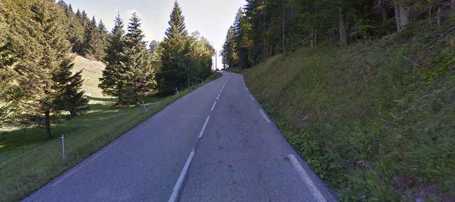
The road to the summit, located within the Parc naturel régional de Chartreuse, is asphalted. It’s called D512. Starting from Saint Pierre d'Entremont, the ascent is 8.5 km long. Over this distance, the elevation gain is 499 meters. The average percentage is 5.9 %. And starting from La Diat, the ascent is 4.7 km long. Over this distance, the elevation gain is 334 meters. The average percentage is 7.1 %. The last kilometer is terrific with 10% average.