How to drive the paved road to Col d'Albanne in Savoie
Col d'Albanne is a high mountain pass at an elevation of 1.652m (5,419ft) above sea level, located in the Savoie department of France.
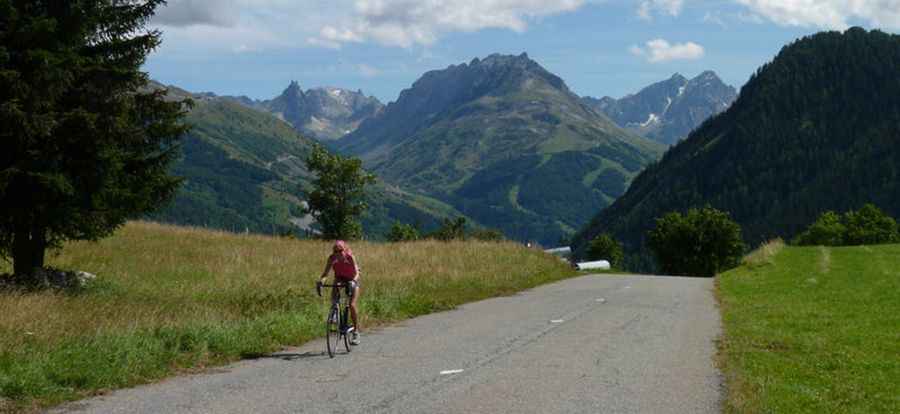
Where is Col d'Albanne?
The pass is located in the Rhône-Alpes region, in the south-eastern part of the country, within the Maurienne Valley.
Is the road to Col d'Albanne paved?
The road to the summit is fully paved. It’s called D81. The drive is pretty challenging, with 19 hairpin turns and hitting a 10.9% of maximum gradient through some of the ramps. It is a fairly wide, winding road that rarely has much traffic (avoid Saturday’s during ski season).
How long is the road to Col d'Albanne?
Starting from Le Bochet, the road to the summit is 11.5 km long. Over this distance, the elevation gain is 953m and the average gradient is 8.28%.
How to get by car to Lac de Pramol?
West of the pass, the road leads to Lac de Pramol, a high mountain lake at an elevation of 1.728m (5,969ft) above sea level. The road is 1.2 km long. The lake sits two kilometres beyond les Karellis ski resort.
Pic: http://www.maurienne-tourisme.com/visiter_bouger/col-d-albanne-et-lac-de-pramol-75248/