How to drive the steep road to Croix de Toulouse in the Hautes-Alpes?
Croix de Toulouse is a high mountain peak at an elevation of 1.962m (6,437ft) above sea level, located in the Hautes-Alpes department of France.
Where is Croix de Toulouse?
The peak is located in the Provence-Alpes-Côte d'Azur region, in the southeastern part of the country.
How challenging is the road to Croix de Toulouse?
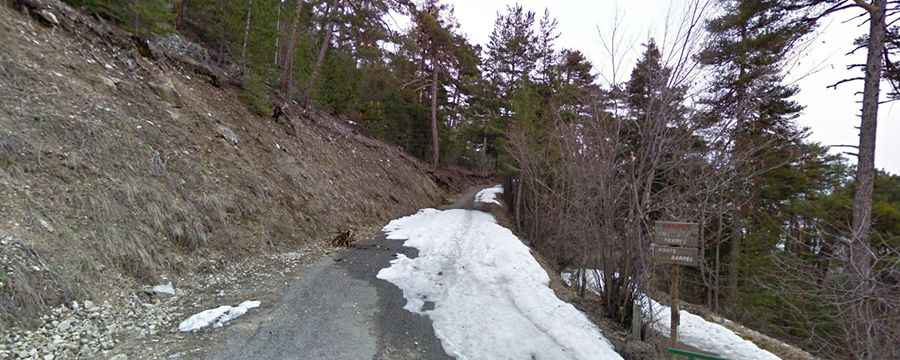
The road to the summit is mostly paved (in very poor condition). The final part of the climb is gravel. It’s extremely narrow (it can be unnerving for some drivers) and steep (hitting a 12.8% of maximum gradient through some of the ramps), with 27 hairpin turns.
How long is the road to Croix de Toulouse?
Starting from the N 91 road, the ascent is 6.3 km long. Over this distance, the elevation gain is 622 meters. The average percentage is 9.9 %.