Driving to Col de La Madeleine in Savoie is Pure Adventure
Col de La Madeleine is a high mountain pass at an elevation of 2,716m (8,910ft) above sea level located in the Savoie department of France.
Where is Col de La Madeleine?
The pass is located in the Auvergne-Rhône-Alpes region, in the southeastern part of the country, within the Tarentaise Valley. Don’t get confused with another pass also called Col de La Madeleine, famous for its presence in the Tour de France and traversed by the paved D213 (part of the scenic Route des Grandes Alpes).
How Long is the Road Through Col de La Madeleine?
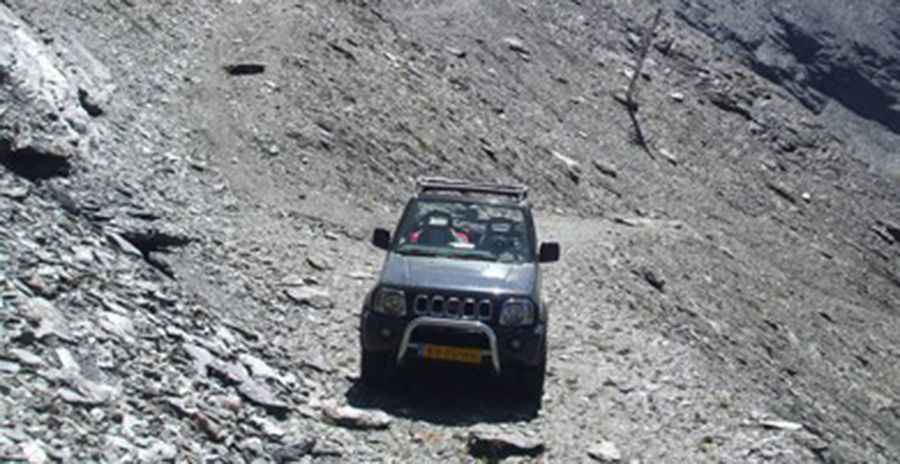
The road through the pass is a service road for a chairlift. It’s totally unpaved. It’s 6.1 km (3.79 miles) long, running north-south from the paved D902 road to Col des Lésières. 4x4 vehicles only. The track to the summit includes several narrow and steep sections (up to 25%).
Is the Road Through Col de La Madeleine Open in Winter?
Set high in the French Alps, the road is totally impassable in winter. It's one of the highest roads in the country.
Pic: Bram van Gelder