How To Travel The Memorable Road to Cime de Caron
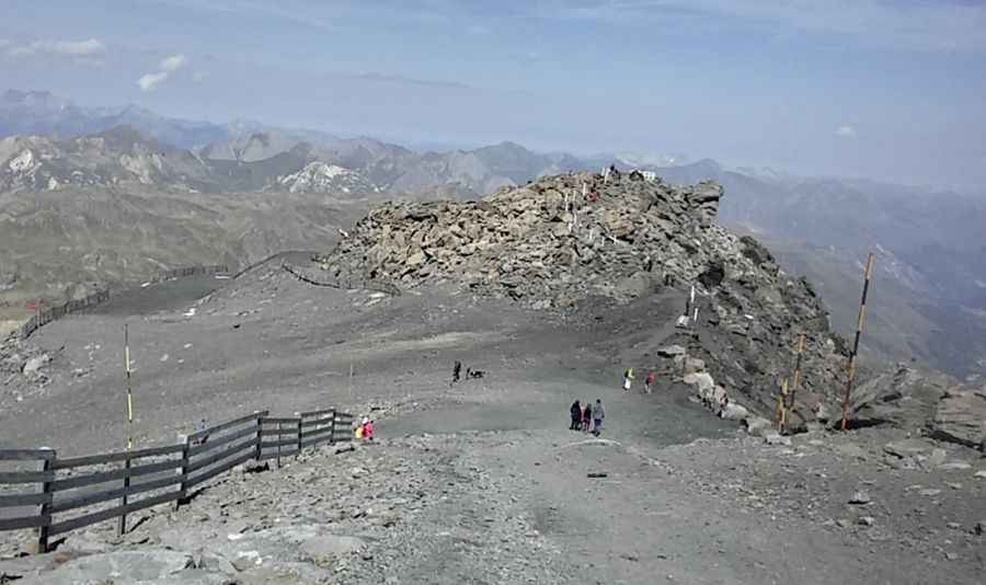
Cime de Caron is a high mountain peak at an elevation of 3.182m (10,439ft) above sea level located in the Savoie department in France. It's one of the highest roads of Europe.
Where is Cime de Caron?
The peak is located in the Auvergne-Rhône-Alpes region, in the southeastern part of the country, near the Italian border.
Can you drive to Cime de Caron?
The track to the summit is totally unpaved. It’s a chairlift service road. 4x4 vehicles only. It’s very narrow and brutally tough with roughly sections, on very rocky, slippery path / ski piste at occasionally impossible steepness.
How long is the road to Cime de Caron?
Starting at Val Thorens Ski resort, the road to the summit is 8.0 km (4.97 miles) long. Over this distance, the elevation gain is 835m and the average gradient is 10.43%, hitting a 30% of maximum gradient through some of the ramps.
Is the road to Cime de Caron open?
Set high in the Massif de la Vanoise range, on the south-eastern part of the country, it's one of the highest roads of the country. The road is impassable in winters.
Is the road to Cime de Caron worth it?
The road follows the unpaved ski-lift service roads, approaching the top of the cable car station. It is one of the most emblematic peaks of the largest ski area in the world, the 3 Valleys. From the top, the panoramic view takes in a thousand summits of France, Switzerland and Italy.
Pic: Pierre QUILICI