Guide to the top of Col de Finiels
Col de Finiels is a high mountain pass at an elevation of 1.541m (5,055ft) above sea level, located in the Lozère département of France.
Where is Col de Finiels?
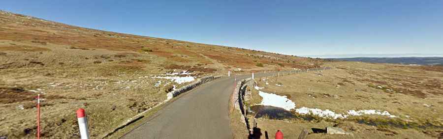
The pass is located in the Occitania region, in the southern part of the country. At the summit there’s a parking lot.
Is the road through Col de Finiels paved?
The road to the summit is called D20. It’s fully paved but comprises steep parts, with sections up to 7.8%.
How long is the road to Col de Finiels?
The road is 21.7 km (13.48 miles) long, running north-south from Le Bleymard to Pont-de-Montvert-Sud-Mont-Lozère.
How steep is the road to Col de Finiels?
Starting from Le Bleymard, the ascent is 10.4 km long. Over this distance, the elevation gain is 472 meters. The average percentage is 4.5%. And starting from Le Pont de Montvert, the ascent is 11.6 km long. Over this distance, the elevation gain is 666 meters. The average percentage is 5.7%.