How to drive the unpaved road to Col Nord des Lacs in Savoie
Col Nord des Lacs is a high mountain peak at an elevation of 2.533m (8,310ft) above sea level, located in the Savoie department of France.
Where is Col Nord des Lacs?
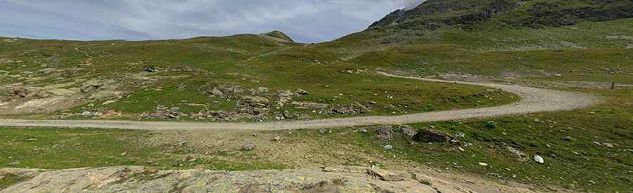
The peak is located in the Rhône-Alpes region, in the south-eastern part of the country. The summit has great views and two lakes: Lac Bramant and Lac Blanc. In the far distance you can see the Glacier de St. Sorlin.
Is the road to Col Nord des Lacs unpaved?
The road to the summit is totally unpaved, and rocky with loose gravel. It’s a chairlift service road, steep and deserted. 4x4 vehicles required.
How long is the road to Col Nord des Lacs?
Starting from Col de la Croix de Fer, the road to the summit is 4.2 km long. Over this distance, the elevation gain is 473 m and the average gradient is 11.26%.
Is the road to Col Nord des Lacs open year-round?
Set high in the French Alps, the road is totally impassable in winters.
How to drive to Col Sud des Lacs?
To the south, a minor gravel road leads to Col Sud des Lacs, a high mountain pass at an elevation of 2.484m (8,149ft) above sea level. At the summit there’s a mountain refuge called Refuge de l'Etendard.
Pic: pascal desgardin