Semnoz
Semnoz, also known as Crêt de Chatillon, is a high mountain pass at an elevation of 1.660m (5,446ft) above the sea level, located in the Bauges range, in Haute-Savoie, France.
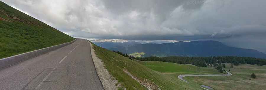
The road to the summit is called D41. It’s asphalted but includes some steep sections (up to 11.4%). The pass has been climbed by the Tour de France race. At the top there’s a small ski station.
There are several routes to reach the summit. Starting from Quintal, the ascent is 11.3 km long. Over this distance, the elevation gain is 922 meters. The average percentage is 8.2 %. Starting from Col de Leschaux, the ascent is 13.4 km long. Over this distance, the elevation gain is 763 meters. The average percentage is 5.7 %. Starting from Annecy, the ascent is 17.4 km long. Over this distance, the elevation gain is 1.212 meters. The average percentage is 7 %. And starting from St Jorioz, the ascent is 22.78 km long. Over this distance, the elevation gain is 1.202 meters. The average percentage is 5.2 %.