How to drive the paved road to Col Bagargui?
Col Bagargui is a mountain pass at an elevation of 1.327m (4,353ft) above sea level, located in the Pyrénées-Atlantiques department in France.
Where is Col Bagargui?
The pass, also known as Col d’Iraty or Col Bagargiak, is located in the Nouvelle-Aquitaine region, in the south-western part of the country. At the summit there’s a big parking lot
Is the road to Col Bagargui paved?
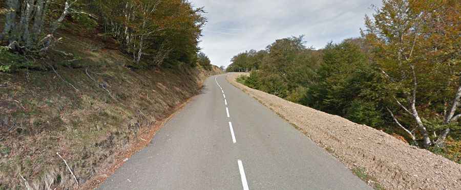
The road to the summit is called D19. It’s fully paved though includes some narrow parts, steep sections (up to 15.5% of maximum gradient) and many curves, with 14 hairpin turns.
How long is the road to Col Bagargui?
The pass has been featured in the Tour de France race. The road through the pass is 18km long, running west-east from to the paved D18 Road to Larrau.