Hourquette d'Ancizan
Hourquette d'Ancizan is a high mountain pass at an elevation of 1.564m (5,131ft) above the sea level, located in the French Pyrenees in the department of Hautes-Pyrénées.
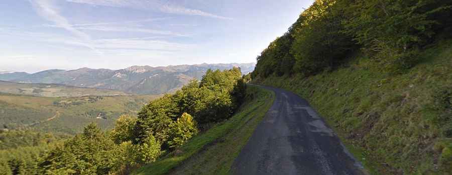
The road to the summit is called D113. It’s asphalted but pretty narrow and steep, with sections up to 12.0%. The pass has been climbed by the Tour de France race. On both sides of the climb mountain pass cycling milestones are placed every kilometre. They indicate the height of the summit, the distance to the summit, the current height, and the average slope in the following kilometre.
Starting from Campan, the ascent is 22.6 km long. Over this distance, the elevation gain is 904 meters. The average percentage is 4 %. The maximum slope is 11 %. And starting from Ancizan, the ascent is 10.33 km long. Over this distance, the elevation gain is 805 meters. The average percentage is 7.8 %. The maximum slope is 12 %.