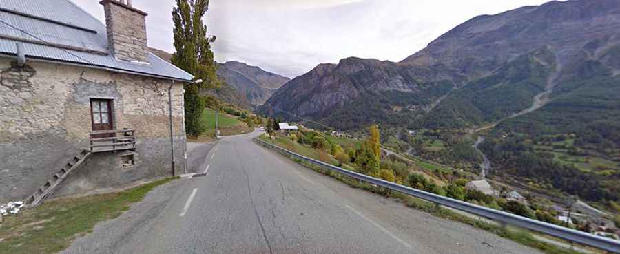
Driving the D76 road to Orcières Merlette in the French Alps
Orcières Merlette is a ski resort at an elevation of 1,823m (5,980ft) above sea level, located in the Hautes-Alpes department of France.
| Road facts: Orcières Merlette (D76) | |
|---|---|
| Location | Hautes-Alpes, France |
| Elevation | 1,823 m (5,980 ft) |
| Road Number | D76 (Fully Paved) |
| Length | 5.8 km (3.6 miles) |
| Max Gradient | 9.0% |
Where is Orcières Merlette?
The resort is located in the Provence-Alpes-Côte d'Azur region, in the south-eastern part of the country on the edge of the Ecrins National Park.
Is the road to Orcières Merlette paved?
The road to the summit is totally paved. It’s called D76 road. It’s a curvy drive, with 8 sharp hairpin turns and steep parts, with several ramps hitting a 9.0% of maximum gradient.
How long is the road to Orcières Merlette?
Starting from Orcières, the road to the summit is 5.8 km (3.6 miles) long. Over this distance, the elevation gain is 405 m and the average gradient is 6.98%. The climb has been featured in the Tour de France race.
Is the road to Orcières Merlette open year-round?
Set high in the Alps, the road to Orcières Merlette is a primary access route for the ski resort, meaning it is kept open throughout the winter. Even if the valley is clear, the D76 summit can be under heavy blizzard conditions within minutes.