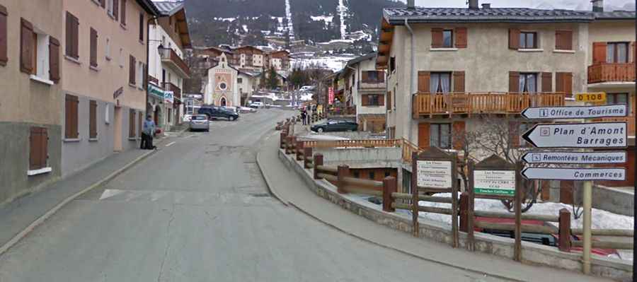
D108: Driving the steep ramps to Lac de Plan d’Aval in the Vanoise Massif
Lac de Plan d’Aval is a high-mountain reservoir situated at an elevation of 2,041m (6,696ft) above sea level in the Savoie department of France. Located within the breathtaking Vanoise National Park, the road to this alpine lake offers a short but intense driving experience with significant gradients and stunning mountain scenery.
| Road facts: Route des Barrages (D108) | |
|---|---|
| Location | Aussois, Savoie, France (Vanoise Massif) |
| Length | 6.8 km (4.22 miles) |
| Average Gradient | 8.20% |
| Max Gradient | 11.8% |
| Surface | Paved |
Where is the road to Lac de Plan d’Aval?
The reservoir is located just south of its "twin," the Lac de Plan d'Amont, in the Rhône-Alpes region. The road, known as the D108 (Route des Barrages), was constructed between 1945 and 1956 as part of the hydroelectric development in the Aussois valley. Today, it serves as a primary access point for hikers and mountain lovers entering the Parc National de la Vanoise.
How challenging is the climb to Lac de Plan d’Aval?
Starting from the charming village of Aussois, the climb is 6.8 km (4.22 miles) long. Despite its relatively short distance, it is a demanding route with a total elevation gain of 558 meters. The average gradient stands at a tough 8.20%, but drivers and cyclists will face sections where the ramps hit a maximum gradient of 11.8%. The road is fully paved and well-maintained, but its winding nature requires careful driving.
What awaits at the end of the Route des Barrages?
The D108 ends at a large parking lot situated between the two dams. From here, visitors have unparalleled views of the turquoise waters of the Plan d’Aval and the surrounding peaks of the Massif de la Vanoise. It is a popular spot for high-altitude activities, but due to its location on the southern slopes, the road is subject to heavy snow and is typically closed during the winter months.
Is the road to the dams suitable for all vehicles?
Yes, being a totally paved road, it is accessible to all types of vehicles. However, the steepness of the ramps means that brakes can get quite hot on the descent back to Aussois. It is a legendary climb for cyclists in the Savoie region, often used as a training ground due to its consistent and challenging slope.