A gravel road to Lac de Plan d'Amont
Lac de Plan d'Amont is a high mountain reservoir at an elevation of 2.078m (6,817ft) above the sea level, located in the Savoie department in the Rhône-Alpes region in south-eastern France.
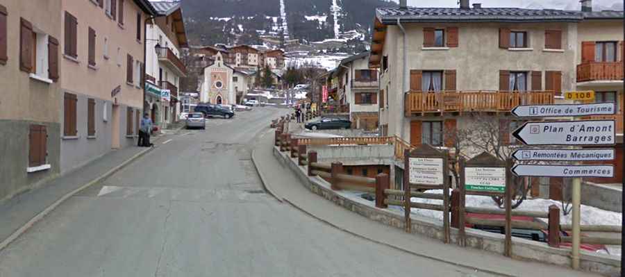
Located on the southern slope of the Massif de la Vanoise, within the Parc National de la Vanoise, the road to the summit is mostly paved. It’s totally paved and called D108-Route des Barrages, ending at a parking lot of Lac de Plan d’Aval. The last kilometers is paved and closed to vehicles. The road was built between 1945 and 1956, and is pretty steep, with sections up to 11.8%.