How to Get to Pre de Madame Carle by Car?
Pré de Madame Carle is a natural site at an elevation of 1,879m (6,164ft) above sea level, located in the Hautes-Alpes department in the Provence-Alpes-Côte d'Azur region of France.

Where is Pré de Madame Carle?
This large open space is located in the southeastern part of the country, in the Pays des Écrins at the base of the Vallouise valley. It serves as the starting point for many mountaineering routes in the Southern Alps and marks the beginning of the walking path to the Glacier Blanc.
Can I Drive to Pré de Madame Carle?
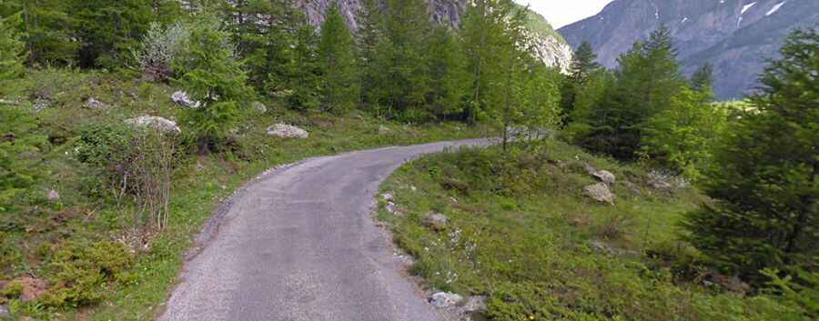
Built in 1934, the road to the summit is entirely paved and is known as D204T. The drive is quite challenging, featuring very narrow sections, hairpin turns, and steep segments, with some ramps reaching a maximum gradient of 13.4%.
How Long is the Road to Pré de Madame Carle?
Starting from L'Argentière-la-Bessée, the road to Pré de Madame Carle is 21.4 km (13.29 miles) long. At the summit, there's a mountain refuge called Chalet Le Pré de Madame Carle, and the road terminates at a large car park.
Is the Road to Pré de Madame Carle Open in Winters?
Situated high in the Ecrins National Park, the road is typically closed in winters from the Claux tunnel, between the village of Pelvoux and the hamlet of Ailefroide. Check conditions beforehand, especially concerning avalanches.
Is Pré de Madame Carle Worth It?
The place experiences extremely high traffic in summers and is the most visited site in the Écrins National Park, attracting close to 150,000 visitors per year.