How to drive the paved road to Bocca de Sevi in Corsica?
Bocca de Sevi is a mountain pass at an elevation of 1.101m (3,612ft) above sea level, located on the island of Corsica, in France.
Where is Bocca de Sevi?
The pass, also known as Col de Sevi, is located in the Corse-du-Sud department.
Is the road to Bocca de Sevi paved?
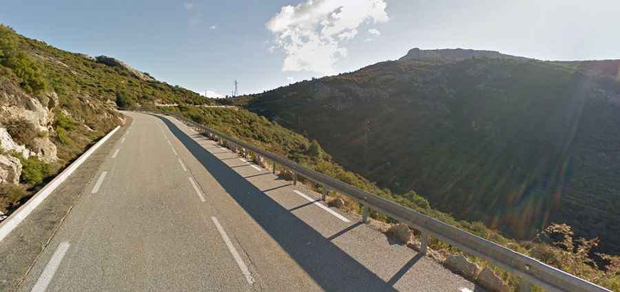
The road to the summit is fully paved. It’s called D70. It’s not an easy drive, with many curves, 3 sharp hairpin turns, and steep sections, hitting a 16% of maximum gradient through some of the ramps. The tarmac is in good condition. It's a wide road that can get a bit busy, but pleasant and quite tough on the final ramps.
How long is the road to Bocca de Sevi?
The road through the pass is 7.2 km long, running north-south from Cristinacce to Renno.
Can I drive to the antenna at Bocca de Sevi?
West of the pass, a minor unpaved road climbs up to a communication antenna at an elevation of 1.149m above sea level. The road, paved with concrete, is closed to private vehicles. It’s extremely steep.