Col de la Vaccia: Driving the D69 Route des Trois Cols in Corsica
Col de la Vaccia is a mountain pass at an elevation of 1,193m (3,914ft) above sea level, located in the Corse-du-Sud department on the island of Corsica, France. The pass is a strategic point on the D69 road, a route that crosses the granite backbone of the island. Known locally as Passo della Vaccia, it is a key link for interior logistics, connecting the high valleys of the Taravo and the Alta Rocca.
| Road facts: Col de la Vaccia (D69) | |
|---|---|
| Location | Corse-du-Sud, Corsica, France |
| Elevation | 1,193 m (3,914 ft) |
| Length | 26.7 km (Zicavo to Aullène) |
| Route Name | Route des Trois Cols |
Where is Col de la Vaccia located?
The summit, also called Bocca di Vaccia, sits in the rugged interior of southern Corsica. The D69 (formerly RN 194) runs north-south through the pass, providing a technical drive through dense forests and rocky escarpments. It is far from the wider coastal highways, meaning services are restricted to the small mountain villages of Zicavo and Aullène at either end of the pass.
What is the Route des Trois Cols?
The road over Col de la Vaccia is part of the famous "Route des Trois Cols," a high-altitude driving sequence that includes Bocca di Sorba (1,311m) and Bocca di Verdi (1,289m). This mountain axis is the most direct way to drive through the spine of the island, but it requires managing constant gear changes and sustained attention to the road surface, which is under constant stress from winter ice and heavy rain runoff.
Is the road to Col de la Vaccia paved?
Yes, the D69 is fully asphalted. While the road was widened and improved in 2011, it remains a typical Corsican mountain route. This means that while the surface is generally good, the lane width can vary, and there are sections with minimal protection against steep drops. The asphalt is abrasive, which provides good grip in the dry but can be hard on tires during long, spirited climbs in high summer temperatures.
How steep is the climb to Col de la Vaccia?
The 26.7 km transit features two distinct sides. Starting from Zicavo in the north, the climb is 14.7 km long with a moderate average gradient of 3.1%. From Aullène in the south, the road is shorter but more aggressive, covering 11.8 km with a steady 6.3% average gradient. In both directions, the road features a relentless sequence of curves that prevents maintaining high speeds, forcing a rhythm of constant braking and acceleration that tests the torque of the engine.
What are the hazards on the D69 through the pass?
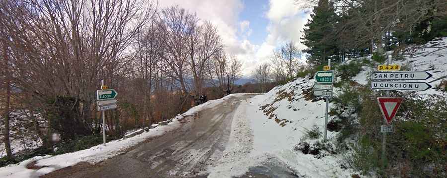
The primary hazards are the free-roaming livestock—pigs, cows, and goats—that frequently occupy the driving lane on both sides of the summit. In winter, the Col de la Vaccia is prone to black ice and snow, often requiring chains or winter tires as the road is not always prioritized for snow removal. Additionally, the lack of safety barriers in the most exposed forested sections means that any error in steering or lane positioning can lead to a significant fall into the ravines below.