Driving the scenic road to Col d’Olivier
Col d’Olivier is a mountain pass at an elevation of 711m (2,332ft) above sea level, located in the Alpes-de-Haute-Provence department of France.
Where is Col d’Olivier?
The pass is located in the Provence-Alpes-Côte d'Azur region, in the southeastern part of the country, within the Verdon Natural Regional Park, near the Var department.
Is Col d’Olivier paved?
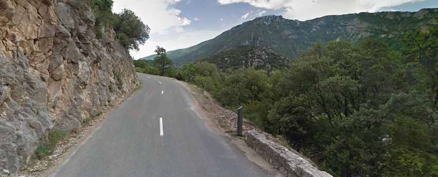
The road to the summit is fully paved. It’s called D952 and is the main gate to the iconic Gorges du Verdon. It’s a very scenic drive. Be sure to take enough time to stop and take a few photos. The road is open year-round and does get busier at weekends and main holidays seasons: watch out for oncoming traffic.
How long is Col d’Olivier?
The pass is 19.3km (12 miles) long, running from the town of La Palud-sur-Verdon to Moustiers-Sainte-Marie, considered one of the "most beautiful villages of France".