How to get by car to Fort du Mont-Chauve in Nice?
Mont Chauve d'Aspremont is a mountain peak at an elevation of 835m (2,739ft) above sea level, located in the Alpes-Maritimes department of France.
Where is Mont Chauve?
The peak, known as Nice’s ‘bald mountain’, is located in the Provence-Alpes-Côte d'Azur region, in the south-eastern part of the country.
What’s at the summit of Mont Chauve?
Perched high between the Var and the Paillon rivers, the summit hosts communication antennas and the ruins of a military fortress, Fort du Mont-Chauve, built in the 19th century and part of the coastal defense system.
What’s Fort du Mont-Chauve?
The Fort of Mont-Chauve d’Aspremont, built between 1885 and 1888 at the summit of Mont Chauve, also called the “La Palice” fort, is locally known as the “Fort of Mont-Chauve de Nice.” It is one of the components of the Séré de Rivières system for fortifying the Italian border. This fort was intended to defend the Var and Paillon valleys against invasions coming from the north. It was built during the “shell crisis”, which allowed the construction to be adapted accordingly. It is now used by civil aviation. Its capacity was 9 officers, 21 non-commissioned officers, and 272 soldiers.
How long is the road to Mont Chauve?
The road to the summit is totally paved, but pretty narrow, steep, and degraded. It’s called M214. Starting at Saint-Sébastien, on the paved M114 north of Nice, the road to the summit is 7.0 km (4.3 miles) long. Over this distance, the elevation gain is 539 meters. The average gradient is 7.7%.
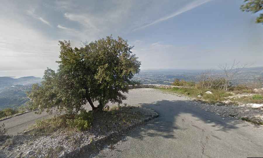
How challenging is the road to Mont Chauve?
The road features 16 hairpin turns and is very steep, hitting a 13% maximum gradient through some of the ramps. Closed by a barrier after km 5.0, the final set of switchbacks to the fort at the top are narrow, rougher, and completely empty.
When is the best time to drive to Mont Chauve?
Best done out of season because the road has only one lane, and it’s difficult and dangerous in case of heavy traffic. Not to be done in the summer, as temperatures can be very high. The views at the summit are unbelievable, as far as Italy to the east and Cannes to the west.