How to drive the paved road to Col de Chalais?
Col de Chalais is a mountain pass at an elevation of 930m (3,051ft) above sea level, located in the Auvergne-Rhône-Alpes Region of France. The road to the summit is very steep.
Where is Col de Chalais?
The pass is located in the Isère department, in the southeastern part of the country.
How to get by car to Monastère de Chalais?
The road ends at the Monastère de Chalais, also called Châlais-sur-Voreppe or Notre-Dame de Châlais, a Dominican convent at 940m above sea level.
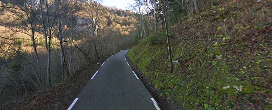
Is the road to Col de Chalais paved?
The winding forest road to the summit is fully paved. It’s called Route de Chalais. It comprises narrow sections, many turns and very steep parts. It’s often snow-covered in winter.
How long is the road to Col de Chalais?
Starting from Voreppe, the road to the summit is 5.6km long. Over this distance the elevation gain is 657 meters, and the average gradient is 11.73%.