How to drive the paved road to Col de Marocaz?
Col de Marocaz is a mountain pass at an elevation of 958m (3,143ft) above sea level, located in the Savoie department of France.
Where is Col de Marocaz?
The pass is located in the Rhône-Alpes region, in the south-eastern part of the country.
Is the road to Col de Marocaz paved?
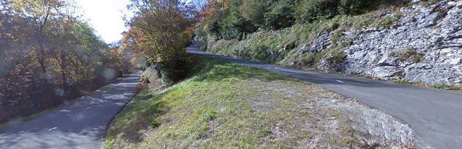
The road to the summit is fully paved (yet partly broken) and pretty narrow. It’s called D11. The road features 13 hairpin turns and very steep parts, hitting a 10.9 % of maximum gradient through some of the ramps.
How long is the road to Col de Marocaz?
The road through the pass is 16km long, running west-east from Curienne to Cruet.
Is the road to Col de Marocaz open in winter?
The road is open year-round. The road is not heavily used and it’s a pretty lonely drive.