How to drive the curvy road to Fort du Mont in Albertville?
Fort du Mont is a military fortress at an elevation of 981m (3,218ft) above sea level, located in the Savoie department, in France.
Where is Fort du Mont?
The fortress, also known as fort Daumas, is located in the Rhône-Alpes region in the south-eastern part of the country. At the summit there’s a parking lot.
When was Fort du Mont built?
The fortress, strategically placed between the Beaufortain Mountains and the Tarentaise Valley, on the western flanks of Roche Pourrie, was built between 1877 and 1881.
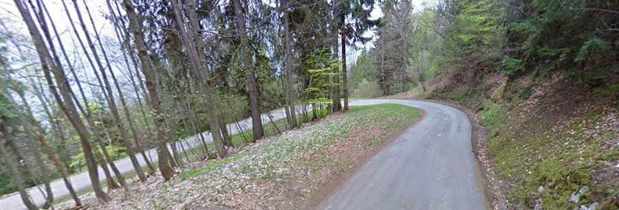
Is the road to Fort du Mont paved?
The road to the fortress is called D105, also known as Route du Fort du Mont. It’s fully paved, yet curvy and narrow in parts, with 21 hairpin turns. It provides great views over the Albertville valley.
How long is the road to Fort du Mont?
Starting from Albertville, the road to the summit is 10.2km long. Over this distance, the elevation gain is 750 m and the average gradient is 7.35%.