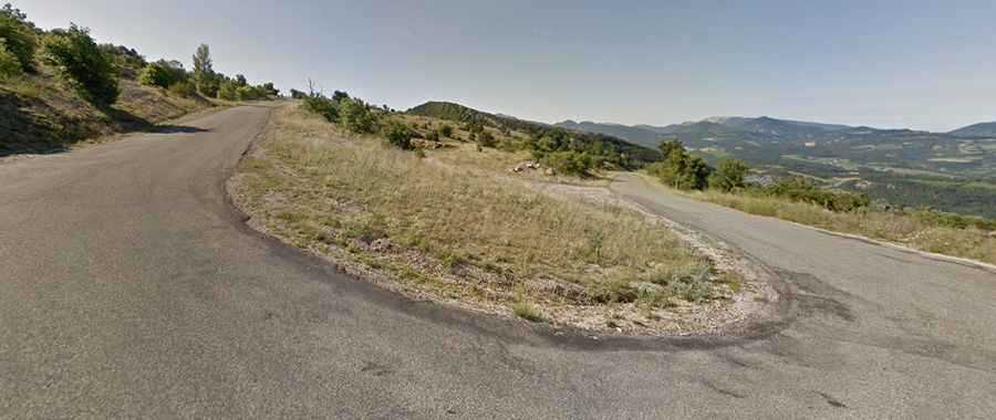
A hairpinned paved road to the summit of Col de la Chaudiere
Col de la Chaudière is a mountain pass at an elevation of 1.047m (3,435ft) above sea level, located in the Drôme department, in France.
Where is Col de la Chaudière?
The pass is located in the Auvergne-Rhône-Alpes region, in the southeastern part of the country.
How long is Col de la Chaudière?
The road to the summit is fully paved but in bad condition. It’s called D156. The pass is 22.5km (13.98 miles) long, running north-south from Saillans to Bourdeaux. It’s narrow, steep and with little traffic. Expect plenty of hairpins and views.
How steep is Col de la Chaudière?
The road is pretty steep, hitting a 10.0% through some of the corners. Starting from Bourdeaux, the ascent is 11.6 km long. Over this distance, the elevation gain is 637 meters. The average percentage is 5.5 %. And starting from Saillans, the ascent is 11.5 km long. Over this distance, the elevation gain is 773 meters. The average percentage is 6.7 %
.