Driving to Col de la Porte: A technical 18-hairpin climb in the Alpes-Maritimes
Col de la Porte (also known as Cuolla de Liporte) is a mountain pass at an elevation of 1,060 meters (3,477 ft) above sea level, located in the Alpes-Maritimes department of southeastern France. The pass is traversed by the narrow D73 road, connecting Lantosque and Lucéram in the pre-Alpine hills of the Provence-Alpes-Côte d'Azur region.
| Road facts: Col de la Porte (D73) | |
|---|---|
| Location | Alpes-Maritimes, France |
| Elevation | 1,060 m (3,477 ft) |
| Length | 15.7 km (9.7 miles) |
| Hairpin Turns | 18 switchbacks |
| Road Number | D73 |
| Surface | Paved (Degraded asphalt) |
Where is Col de la Porte located?
The pass lies in the interior of the Alpes-Maritimes department. The D73 road links the Vésubie valley at Lantosque with the Paillon valley at Lucéram, climbing through limestone gorges and forested mountain slopes.
How difficult is the D73 road over Col de la Porte?
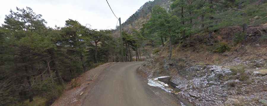
The 15.7-kilometer drive runs over a narrow, single-lane paved surface that suffers from frost damage and cracked asphalt. The climb includes 18 sharp hairpin turns with steep inner ramps. Due to the tight radius of the switchbacks and the narrow roadbed, meeting oncoming cars requires pulling over onto turnouts or low stone curbs along the cliff edges.
What are the hazards on the Col de la Porte pass?
Rockfalls from overhanging cliffs frequently leave loose stones and gravel on the pavement, particularly after rainstorms. In winter and early spring, shaded corners retain black ice. On the steep descent toward Lucéram, the 18 hairpin turns force continuous braking, making lower gears necessary to use engine braking and prevent brake pads from overheating.
Is Col de la Porte open year-round?
The road is kept open year-round, though heavy snowfall or black ice can cause temporary delays until departmental snowplows clear the D73. Regional regulations require winter tires or snow chains in this department between November 1 and March 31.