Driving the narrow and steep D27 road to Col de Ve Gautier
Col de Ve Gautier (also spelled Col de Vegautier) is a mountain pass at an elevation of 1,099 meters (3,605 ft) above sea level, located in the Alpes-Maritimes department of southeastern France. Crossing the hinterland of the Provence-Alpes-Côte d'Azur region, the pass is traversed by the narrow D27 road.
| Road facts: Col de Ve Gautier | |
|---|---|
| Location | Alpes-Maritimes, France |
| Elevation | 1,099 m (3,605 ft) |
| Length | 11.7 km (7.27 miles) |
| Road Number | D27 |
| Max Gradient | 8.0% |
| Surface | Paved (Narrow and rough) |
Where is Col de Ve Gautier located?
The pass is situated in the pre-Alpine mountains above the Estéron valley. The D27 road links the mountain villages of Toudon and Ascros, climbing along exposed limestone cliffs.
How difficult is the D27 road to Col de Ve Gautier?
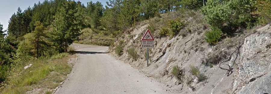
The 11.7-kilometer drive between Toudon and Ascros runs over a narrow, single-lane paved surface. The asphalt is rough and uneven in many sections, with loose gravel and small rocks falling from the overhanging rock faces onto the roadbed. Meeting an oncoming car or delivery van often forces one driver to stop or reverse to a wider pocket in the rock.
What are the main hazards on the D27 pass?
The main hazard on Col de Ve Gautier is the combination of the narrow roadbed and the lack of guardrails along cliff sections. Sections of the ascent reach an 8.0% gradient, requiring low gears to climb and engine braking on the descent toward Toudon to prevent brake overheating. Heavy rain regularly causes small rockfalls that leave sharp stones on the pavement.
Is Col de Ve Gautier open in winter?
The pass generally stays open year-round, though winter storms can cause temporary ice patches or snow accumulation at 1,099 meters elevation. Local departmental snowplows clear the D27, but winter tires or chains are required by regional regulations between November 1 and March 31.